Farm Boundary Survey: Official Demarcation
Boundary disputes start with an old map and a missing stone marker, not bad intent. How official demarcation of your plot actually works.
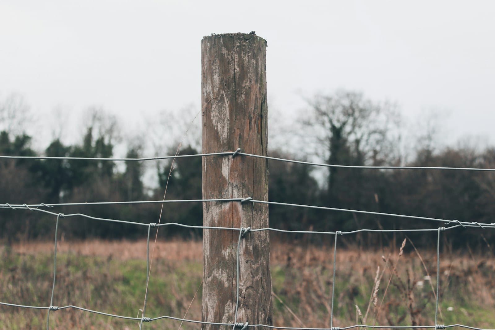
Most boundary disputes are not about greed. They are about a map drawn at the last village settlement — sometimes decades ago — a stone marker (had-nishan) that got ploughed under or washed away years back, and two neighbours who each genuinely believe their line is the correct one.
Why boundaries drift even when nobody is cheating
A Khasra map is a snapshot from whenever the village was last surveyed. Between surveys:
- Physical markers disappear — boundary stones get displaced by ploughing, or simply weather away over decades.
- Land subdivides informally — a father's plot gets split among heirs on paper long before it is split on the ground, or vice versa.
- Water bodies shift — a field bordering a river or seasonal nullah can genuinely gain or lose area as the water's course changes.
- Encroachment creeps — a few extra furrows ploughed each season, unnoticed for years, add up.
None of this requires bad faith. It is simply what happens to a physical boundary when the paper record and the ground are updated at different speeds.
How official demarcation works
Demarcation is the process of an authorised revenue official re-establishing a plot's boundary on the ground, matching it against the official map, and marking it so it is unambiguous going forward.
- File an application with the Tehsildar or the local revenue office, naming the plot (khasra number) and the neighbouring plots in question. Most states now accept this through the state Bhulekh/land-records portal as well as in person.
- Notice to neighbours — adjoining landholders are formally informed of the demarcation date, since the exercise directly affects their boundary too.
- On-ground survey by a Patwari/Lekhpal together with an Amin (a licensed revenue surveyor), who re-measures the plot against the Khasra map or shajra (the village's base cadastral map) using a chain, tape or increasingly a GPS instrument.
- Boundary marking — the re-established line is marked with pillars or stones, and the outcome is recorded in the revenue register.
- Fee and timeline — a modest fee applies, set by the state; timelines vary widely by state backlog, from a few weeks to several months.
When technology has caught up
Several states now run demarcation and resurvey through DGPS or drone-based methods under modernisation programmes tied to DILRMP, which is significantly faster and more precise than a manual chain survey — particularly useful for large or irregularly shaped plots. Many states also let you view the existing cadastral map online through a Bhu-Naksha portal before you even file a demarcation request, which is worth doing first: sometimes the dispute is simply a misreading of an old map, not an actual boundary shift.
If it has already become a dispute
- Start with demarcation, not court. A formal, official re-demarcation resolves the majority of boundary disagreements without litigation, because it produces an authoritative answer both sides can act on.
- If demarcation is contested, the matter typically goes to the revenue court (not a civil court in the first instance) — the Sub-Divisional Officer or Assistant Collector's court handles boundary and mutation disputes under most state land revenue codes.
- Avoid the common shortcut of a police complaint as a first step — boundary disputes are a revenue-record matter, and police intervention without an underlying demarcation order rarely resolves anything permanently.
- Keep records of every stage — the original demarcation application, notices sent to neighbours, and the surveyor's report — since these become the evidentiary trail if the dispute does escalate.
The one sentence version
A boundary dispute is usually a paperwork problem wearing a farming-conflict costume — official demarcation by a Patwari and Amin, matched against the Khasra map, settles most of them before they need a court.
Frequently asked questions
What is the difference between demarcation and a resurvey?
Demarcation marks the boundary of one specific plot against its neighbours, usually requested by one owner over a dispute or before construction. A resurvey re-measures an entire village or block, updating the base maps for every plot at once. Demarcation is faster and narrower; a resurvey is the more thorough, less frequent exercise.
Who pays for a demarcation request?
The applicant pays a fee set by the state revenue department, which varies by state and by plot size. It is a modest administrative charge, not a market-rate survey fee — check the current schedule at your Tehsildar office or state land-records portal before applying.
Can I fence my land based on my own measurement without official demarcation?
You can, but it is the single most common trigger for a neighbour dispute. If there is any doubt about where the true boundary sits — a shared history, unclear old markers, a recent purchase — get an official demarcation first. A fence built on a self-measured line that turns out to be wrong is expensive to move and worse for relations with your neighbour.

Written by
Vaibhav Dhama
Founder, Technical Kisan
Vaibhav Dhama is the founder of Technical Kisan. He writes from Baghpat, Uttar Pradesh, and builds each guide on ICAR and state agricultural university guidance, official government scheme notifications, and live mandi-price data.
- Writes from Baghpat, Uttar Pradesh
- Software developer (BTech, 2021)
- Not a trained agronomist — confirm with your KVK
Discussion is coming soon
We are building a comments section where you can ask a question about this guide and see what other farmers in your district are doing.
For now, write to us at [email protected] — we read every message.