How to Measure Farm Land Accurately
A bigha in UP is not a bigha in Rajasthan, and pace-counting is not a survey. What your land record measures in, and how to convert it.
Ask a farmer in Meerut and a farmer in Jaipur how big a bigha is, and you will get two different, equally correct answers. That is the first thing to understand about measuring farm land in India: the traditional unit on your record is regional, and it is not the unit a bank, an insurer, or a buyer from another state will recognise.
What your record actually measures in
Officially, area in a Khasra/Khatauni or equivalent is recorded in hectares and square metres, or in acres and guntha/cents, depending on the state's revenue system. The bigha, katha, biswa, ghumaon, kanal-marla and ropani figures you hear quoted in the village are local conversions layered on top — genuinely useful for everyday conversation, genuinely risky if you use one uncritically in a loan or sale document.
The traditional units, and why they are not interchangeable
| Unit | Roughly used in | Approximate size |
|---|---|---|
| Bigha (kachha) | Uttar Pradesh, Bihar | ~0.625 acre |
| Bigha | Rajasthan | ~0.4–0.6 acre, varies by district |
| Bigha | West Bengal, Assam | ~0.33 acre |
| Katha | Bihar, West Bengal, Nepal border belt | ~0.5–0.8 katha per bigha, varies by state |
| Kanal | Punjab, Himachal Pradesh, J&K | 1 kanal = 20 marla ≈ 0.125 acre |
| Ghumaon | Punjab, Haryana | 1 ghumaon = 4 kanal ≈ 0.5 acre |
| Guntha | Maharashtra, Karnataka | 1 guntha ≈ 0.025 acre; 40 guntha = 1 acre |
| Ropani | Himalayan hill states | ~0.05 hectare |
These are approximate and vary further by district within a state. The only genuinely fixed, nationally consistent units are the acre, hectare and square metre — which is why any official document ultimately converts back to one of those. Our land area converter handles the state-wise conversions if you need to move between a locally quoted bigha or guntha figure and a standard acre or hectare number.
How area actually gets measured
- Chain and tape survey — the traditional method, still used by a Patwari or Lekhpal during a routine field visit: physically measuring boundary lines with a surveyor's chain or tape and calculating area from the resulting plot geometry. Accurate when done carefully, but slow and dependent on visible boundary markers.
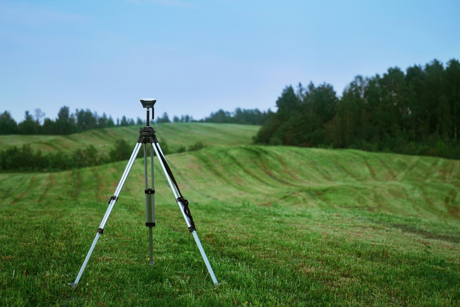
- Handheld GPS / GNSS — a surveyor walks the boundary carrying a GPS receiver that logs coordinates continuously; area is calculated automatically from the resulting polygon. This is now standard for departmental resurveys in many states.
- DGPS and drone/aerial survey — Differential GPS and drone-based photogrammetry, capable of centimetre-level accuracy, used in large modernisation efforts like state resurvey programmes and the SVAMITVA scheme's rural-abadi mapping.
- Phone GPS apps — walking the boundary with a smartphone area-measurement app gives a reasonable estimate (typically within a few percent on flat, open land) for your own planning purposes, but has no legal standing on its own.
- Pacing it out — walking the boundary and counting steps. Useful only as a rough sanity check; error can easily run to 10% or more depending on stride consistency and terrain.
When your own measurement disagrees with the record
A mismatch between what you measure and what the Khasra states is common, not necessarily alarming — many village settlements are decades old, and boundaries drift slightly through erosion, informal encroachment, or the loss of the original boundary stones. If the difference is small, it may not be worth pursuing. If it is significant enough to affect a sale price, a loan amount, or a scheme entitlement, the correct route is to apply to the Tehsildar or local revenue office for an official resurvey, not to simply adopt whichever number is more favourable.
The one sentence version
Local units like bigha and guntha are fine for a conversation in the village, but any figure that ends up in a loan, sale deed or scheme form should trace back to an acre/hectare measurement from an official survey — not a pace-count or a remembered conversion.
Frequently asked questions
Is a bigha the same size everywhere in India?
No. A bigha has no single fixed size in Indian law — it is a traditional unit whose size was set by local custom in each region. A Uttar Pradesh bigha (about 0.625 acre, called kachha), a Rajasthan bigha (roughly 0.4 to 0.6 acre depending on district), and a West Bengal bigha (roughly 0.33 acre) are all different areas.
Why does my land record show a different area than what I measured myself?
The Khasra area was fixed at the last official settlement or resurvey, which in many villages was decades ago, and boundaries can shift slightly over time through informal encroachment, erosion near a water body, or simple loss of the original boundary markers. A visible mismatch is grounds to request an official resurvey, not to assume either number is definitely wrong.
Can I trust a phone GPS app to measure my field?
For a quick estimate, yes — a phone GPS app walking the boundary is far better than pacing it out, typically accurate to within a few percent on an open field. For anything with legal or financial consequences — a sale, a loan, a boundary dispute — you still need a survey by a licensed Amin or the official DGPS-based resurvey record.

Written by
Vaibhav Dhama
Founder, Technical Kisan
Vaibhav Dhama is the founder of Technical Kisan. He writes from Baghpat, Uttar Pradesh, and builds each guide on ICAR and state agricultural university guidance, official government scheme notifications, and live mandi-price data.
- Writes from Baghpat, Uttar Pradesh
- Software developer (BTech, 2021)
- Not a trained agronomist — confirm with your KVK
Discussion is coming soon
We are building a comments section where you can ask a question about this guide and see what other farmers in your district are doing.
For now, write to us at [email protected] — we read every message.