
Skip to content
Technical Kisanखेती, तकनीक के साथ
Precision FarmingAdvancedHigh InvestmentData-Driven

Precision Farming — Complete Guide for Indian Farmers

Treat a field as unequal zones instead of one flat block — soil maps, sensors or satellite imagery set seed, water and fertiliser rate zone by zone, so a field never gets uniform inputs it never needed uniformly.
Best for:
Any large holding with visible soil variability
7 min read
Updated:
3 August 2026
Compare Techniques
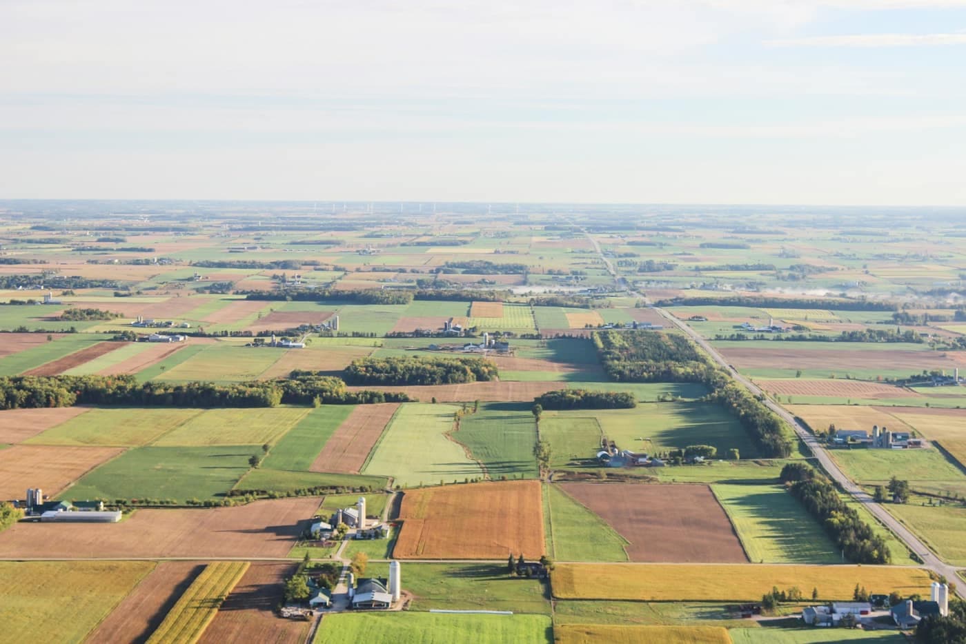
Aerial view of dense green crop rows curving across rolling farmland

At a Glance

The quick decision panel — everything you need before reading a single paragraph further.

Difficulty
Advanced — needs mapping and sensors
Investment
High — sensors, mapping and software
Cost Savings
15–20% less fertiliser and water
Yield Improvement
5–10% from matched inputs
Water Saving
15–20% via zone-based irrigation
Labour Saving
Data-driven, fewer blanket passes
Best Season
Set up before sowing, refined each season
Suitable Crops
Any large-holding row crop
Suitable States
Punjab, Maharashtra, Karnataka
Equipment Required
Soil sensors, mapping, variable-rate applicator

Quick Benefits

What actually changes on your farm once this is in place.

  • Lower Farming Cost

    Fertiliser and water use typically drop 15–20% once inputs are matched to what each zone actually needs.

  • Higher Yield

    Correcting under- and over-application zone by zone routinely adds 5–10% versus uniform blanket rates.

  • Better Resource Utilization

    Saves the most on the inputs a field never needed evenly in the first place.

  • Water Conservation

    Zone-based irrigation avoids over-watering the parts of a field that never needed the blanket rate.

  • Reduced Risk

    A soil map built up over seasons catches variability trends before they become a visible yield problem.

  • Sustainable Farming

    Reduces the total input load on the land while maintaining or improving output.

How It Works

The practice broken into the steps you will actually follow, in order.

  1. Soil-test or map the field in zones

    Grid soil sampling, sensors or satellite imagery divide the field into zones with different nutrient and moisture profiles.

  2. Install sensors or source imagery

    Soil moisture and nutrient sensors, or a satellite/drone imagery subscription, feed data on each zone continuously.

  3. Generate a variable-rate prescription

    Software translates the zone data into a seed, water or fertiliser rate map for each part of the field.

  4. Apply inputs zone by zone

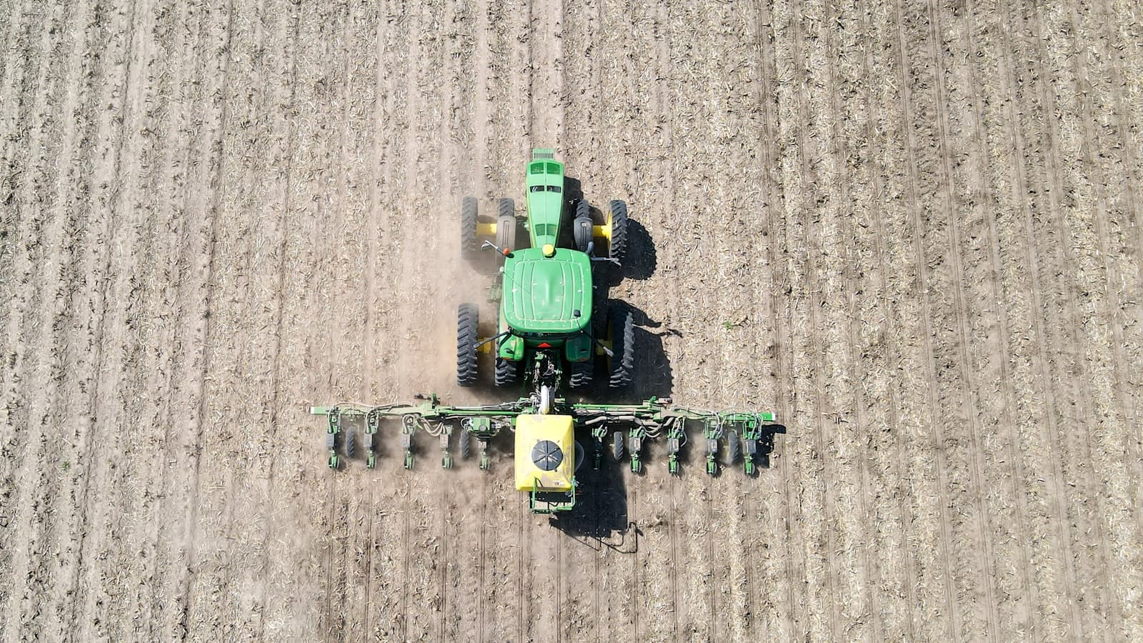
    A variable-rate applicator or manually zoned application follows the prescription instead of one blanket rate.

  5. Review yield maps season on season

    Compare the yield map against the input map each season to refine the zones and rates further.

Should You Use This Technique?

An honest read before you spend a rupee or an hour on it.

Recommended If

  • You farm 10+ acres with visibly uneven soil or yield across the field
  • Input cost (fertiliser, water) is a major share of your cultivation expense
  • You are willing to invest in sensors, mapping or a satellite-imagery subscription
  • You are comfortable using a smartphone or basic software for field data
  • You want a long-term, data-driven improvement rather than a one-season fix

Not Recommended If

  • Your plot is small and reasonably uniform in soil type
  • The budget genuinely cannot cover sensors, mapping or software this season
  • Local mobile network or technical support is unreliable for sensor data
  • You are deciding season to season and cannot commit to the multi-year data-building this needs
  • You have no access to a technician or agronomist to help interpret the data

Cost & Profit Analysis

This technique against conventional practice, head to head, per acre.

  • Soil mapping and sensors (per season, amortised)

    Conventional total
    ₹0/ha
    This technique, total
    ₹3,500/ha
  • Fertiliser

    Conventional total
    ₹8,000/ha
    This technique, total
    ₹6,500/ha
  • Irrigation

    Conventional total
    ₹7,500/ha
    This technique, total
    ₹6,200/ha

Conventional total

₹15,500/ha

This technique, total

₹16,200/ha

The sensor and mapping cost is real, but the fertiliser and water saving alone roughly offsets it — the 5–10% yield gain on top is what makes the technology pay off over a full season.

Expected Results

What farmers already using this technique typically measure.

  • 15–20%

    Fertiliser Saved

  • 15–20%

    Water Saved

  • 5–10%

    Yield Increase

  • Zone-specific, not uniform

    Input Precision

Suitable Crops

Where this technique earns its keep the fastest.

Suitable States

Where this is already common field practice, not a pilot.

  • Jammu and Kashmir
  • Himachal Pradesh
  • Punjab
  • Uttarakhand
  • Haryana
  • Delhi
  • Uttar Pradesh
  • Rajasthan
  • Bihar
  • Jharkhand
  • West Bengal
  • Sikkim
  • Assam
  • Arunachal Pradesh
  • Meghalaya
  • Nagaland
  • Manipur
  • Mizoram
  • Tripura
  • Gujarat
  • Madhya Pradesh
  • Chhattisgarh
  • Maharashtra
  • Odisha
  • Goa
  • Telangana
  • Andhra Pradesh
  • Karnataka
  • Kerala
  • Tamil Nadu
  • Puducherry
  • Ladakh
  • Chandigarh

Commonly practised here

Equipment Required

What you need to run this — most is available on hire through a Custom Hiring Centre.

  • Soil Moisture & Nutrient Sensors

    Feed continuous zone-level data that a fixed soil test alone cannot capture.

    Approx. cost: ₹15,000–₹40,000 per sensor node

  • Variable-Rate Applicator

    Applies seed, fertiliser or water at a rate that changes automatically as it moves between zones.

    Approx. cost: ₹1.5–3 lakh, or a retrofit kit on existing equipment

Common Mistakes

What goes wrong most often, and the fix, before it costs you a season.

  • Buying sensors without a plan to act on the data

    Why it happens
    The technology is adopted before the farm has a clear process for translating readings into a rate change.
    Possible impact
    Sensor data sits unused, and the field is still farmed with one blanket rate despite the investment.
    Fix
    Work with an agronomist or KVK to build a simple zone-to-rate rule before installing sensors.
  • Drawing too few zones for the field's actual variability

    Why it happens
    The field is split into only 2 zones to keep the system simple, when the actual variation is more complex.
    Possible impact
    The zones are too coarse to capture real differences, and the input-saving benefit is diluted.
    Fix
    Let the initial soil-mapping data suggest the number of zones, rather than fixing it in advance.
  • Never updating the zone map after the first season

    Why it happens
    The initial map is treated as permanent, saving the cost of remapping.
    Possible impact
    Soil conditions and drainage patterns shift over seasons, and an outdated zone map gradually loses accuracy.
    Fix
    Re-check the zone map every 2–3 years, or sooner if yield patterns start looking inconsistent with it.
  • Relying on satellite imagery alone with no ground-truthing

    Why it happens
    Imagery is treated as fully reliable without any on-field verification.
    Possible impact
    Imagery-based zones can miss localised issues like a broken drainage line or a compacted patch that only a field walk reveals.
    Fix
    Ground-truth imagery-based zones with occasional field checks, especially in the first season.

Seasonal Timeline

Where this technique sits in the crop cycle, start to harvest.

  1. Land Preparation

    Soil sampling or imagery-based zoning is set up here, before the season's inputs are planned.

  2. Sowing

    Seed rate can be varied zone by zone if using a variable-rate planter.

  3. Vegetative Stage

    Fertiliser and irrigation follow the zone-based prescription through the crop's main growth period.

    This technique matters most here

  4. Flowering

    Sensor data helps catch a zone falling behind before it shows up as a visible yield gap.

  5. Harvest

    A yield map is generated here and compared against the input map to refine next season's zones.

Problems & Solutions

The field issues that come up most, and how to stay ahead of them.

Sensor readings look inconsistent or unreliable
Cause
Poor sensor placement, calibration drift, or a connectivity gap in that part of the field.
Fix
Check sensor placement and calibration against a manual soil test at the same spot to confirm the reading.
Prevention
Have a technician verify sensor calibration at the start of each season before relying on the data.
Variable-rate equipment does not match the zone map precisely
Cause
A retrofit variable-rate kit has a coarser adjustment resolution than the zone map assumes.
Fix
Simplify the zone map to match what the applicator can actually deliver, rather than an idealised finer grid.
Prevention
Check the applicator's adjustment resolution before designing a zone map finer than it can execute.
Yield map does not clearly match the input map
Cause
Weather, pest pressure or another factor outside soil variability also affected the season's yield pattern.
Fix
Note any non-soil factors (a localised pest outbreak, a drainage issue) before concluding the zoning itself was wrong.
Prevention
Keep a simple seasonal log of anything unusual, not just the input and yield data.
Difficulty interpreting the data without technical support
Cause
The mapping and sensor software is more complex than the farm has in-house expertise to interpret confidently.
Fix
Work with a local agronomist, KVK or the equipment dealer's support line to interpret the data each season.
Prevention
Confirm what ongoing support is available before investing, not just the upfront hardware cost.

Economics

The numbers that decide whether this pays for itself, and how soon.

  • Initial Investment

    ₹1.5–4 lakh (sensors, mapping, variable-rate equipment)

  • Additional Income

    ₹4,000–₹6,000/ha from the yield gain

  • Estimated Savings

    ₹2,800/ha per season on fertiliser and water

  • ROI

    20–35% in the first season, compounding as zones are refined

  • Payback Period

    3–5 seasons on 10+ ha

Government Support

The schemes that fund the machinery and inputs behind this technique.

Related Farming Tools

Run the real numbers on your own field with these calculators.

Frequently Asked Questions

What is precision farming?

Precision farming treats a field as unequal zones instead of one uniform block, using soil test maps, sensors or satellite imagery to vary seed, water and fertiliser rate zone by zone, instead of applying the same rate across the whole field.

How much does precision farming save on inputs?

Typically 15–20% on fertiliser and water, since inputs are matched to what each zone actually needs instead of a uniform rate that over-serves some parts of the field and under-serves others.

Is precision farming worth it for a small farmer?

It suits large holdings (10+ acres) with visible soil variability best — the sensor and mapping investment is harder to justify on a small, uniform plot where variation between zones is minimal.

Do I need to own expensive equipment for precision farming?

Some investment in sensors, mapping or a satellite-imagery subscription is generally needed, though a retrofit variable-rate kit on existing equipment is usually cheaper than buying dedicated new machinery.

How often should the zone map be updated?

Roughly every 2–3 years, since soil conditions and drainage patterns shift over seasons — an outdated zone map gradually loses the accuracy that makes the technique worthwhile.

Does precision farming increase yield?

Yes, typically 5–10%, mainly from correcting the under- and over-application that a uniform blanket rate causes across a variable field.

What data sources are used in precision farming?

Grid soil sampling, in-field moisture and nutrient sensors, and satellite or drone imagery are the three most common sources, often combined to build a more accurate zone map than any one alone.

Can precision farming be combined with other techniques?

Yes — it pairs well with laser land levelling (an even base for zone-based irrigation) and conservation agriculture (long-term soil-health tracking feeds directly into better zoning).

Still deciding?

The FAQs above cover the common questions. For a choice tuned to your exact soil, crop and holding size, your nearest Krishi Vigyan Kendra is the authoritative next step.